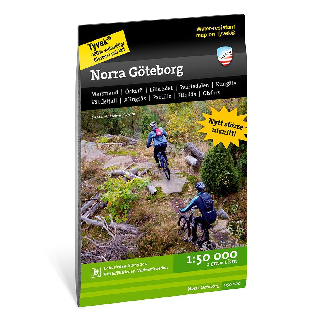

North Gothenburg
159 kr
159 kr
Tax included.
Shipping calculated at checkout.
Couldn't load pickup availability
Description
This 1:50,000 scale map has a section that is primarily adapted for those who will be on the water or at the coast. It is of course printed on the highly water-resistant synthetic paper Tyvek.Famtagen in collaboration with Solstaskäret, Friluftsfrämjandet in Arvika-Sunne and Kristinehamn, Karlstad long-distance paddlers and Vänerkajak. The map contains a number of marked hiking trails, campsites and wind shelters. The map also contains recommended starting points for tours in kayak or on long-distance skates.
We have found that the best material for a map is Tyvek®. It is made of a synthetic fiber that makes the map completely insensitive to water and very tear-resistant. A Tyvek map will not tear at the folds or lose its color when you use it.
Area
We have developed two map sheets of the Gothenburg area with a focus on outdoor activities. In addition to updated information about the current route of the Bohusleden trail, stages 2-10, and the Kattegattleden cycle trail, we have added a larger number of local hiking and mountain bike trails such as the Vättlefjällsleden and the Vildmarksleden.
This northern map covers, among other things, Vättlefjäll, Marsstrand, Mjörn, Alingsås, the Deljsö area and Hindås.
Värmeln - Nedre Fryken - Kil - Vålberg - Grums - Gapern - Hammarön - Jäverön - Kristinehamn.Scale: 1:50,000 (2cm = 1km)
Material: Tyvek
Size: 70 x 100 mm